Close
Close
Trusted Data for Confident Decisions
Our land surveying services deliver everything from boundary and topographic surveys to ALTA/NSPS and pre-engineering surveys. Because we stay current on land-boundary law and survey practice, you get results that stand up to review and keep projects moving forward.
-
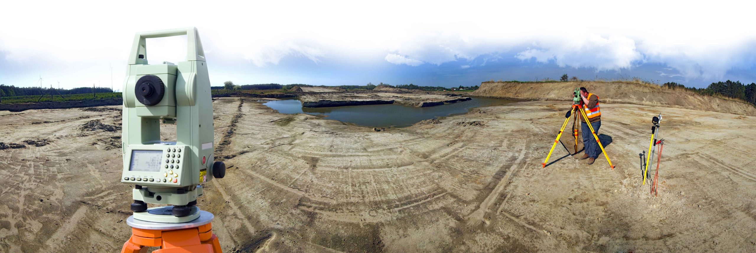
What is a Land Survey?
WHAT IS A LAND SURVEY?
Before a project can break ground, state or federal officials need a land survey. First, the survey pinpoints the best alignment for a new roadway or structure. Next, while construction is underway, our crews stake control points so the work matches the plans. Finally, once the job is finished, an as-built survey documents features such as added streets, overhead utilities, or future expansion areas.
-
What We Measure?
WHAT WE MEASURE?
Our field teams collect precise horizontal and vertical data on features like:
- Terrain: hills, slopes, and drainage ways
- Structures: bridges, tunnels, and buildings
- Infrastructure: storm drains, gas and water lines, buried electrical, overhead wires
- Transportation: roadway layout, sharp turns, and accident-reconstruction points
- Maintenance needs: areas requiring repair or long-term monitoring
-
Specialty Services
OUR SPECIALTY IN LAND SURVEYING?
Need more than a standard survey? We also provide:
- Rights-of-way and easement research
- Property, deed, and utility investigations
- Section and GPS control networks
- Water-rights documentation and well proofs
These services supply the detailed evidence agencies and lenders require, helping your project move smoothly from concept to completion.
-
Request a Quote
Request a Quote
Call 1-833-620-2688 to connect with a service-line representative and receive a tailored project proposal today.